Florida DOT FTI Mobile
Florida Department of Transportation (FDOT) Historical Traffic Data
The Florida Transportation Information (FTI) app contains a graphical interface to access highway and traffic data collected for the State Highway System and for selected off-system roads. This data is available from one of the most comprehensive traffic count and highway data collection programs in the country. The Florida Transportation Information program allows users to locate, identify, and access this information from the thousands of traffic count sites monitored and thousands of miles of roadway inventoried.
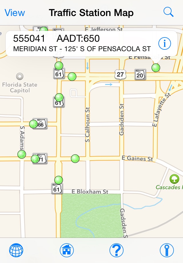
Currently the FTI app features the Traffic Station map and Annual Average Daily Traffic (AADT) map.
Traffic Station data details include: County, Location Description, Combined AADT volume, access to Historical AADT Report and Historical Classification Report, Roadway ID, station milepoint, traffic volume factors, and station site type.
AADT data details include: Local Road names, Combined AADT volume, access to Historical AADT Report and Historical Classification Report, Truck AADT volume, Roadway ID, From and To description of the roadway segment, segment Begin Milepoint (BMP) and End Milepoint (EMP), AADT source Traffic Station ID, station milepoint, traffic volume factors, and station site type.
Search Features allows Address look up, zoom to County, Major Expressways, Traffic Station Sites, and Roadway.
The Historical AADT Report displays the directional and total AADTs, K Factor, D Factor, and T Factor for as many years as data has been collected from the traffic monitoring site.
The Vehicle Class History Report displays Vehicle Classification for past years of available data. The Volume is calculated by multiplying the percentage of vehicles in each group by the AADT for that year.


